


cheylard

raygautier
User

Length
17.6 km

Max alt
906 m

Uphill gradient
493 m
Km-Effort
25 km

Min alt
436 m

Downhill gradient
629 m
Boucle
No
Creation date :
2021-06-13 07:44:08.431
Updated on :
2021-06-13 16:51:33.214
3h46
Difficulty : Very easy

FREE GPS app for hiking
 SityTrail
IGN / Geographical institutes
SityTrail Plus
The world is yours!
About
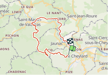
Trail Walking of 17.6 km to be discovered at Auvergne-Rhône-Alpes, Ardèche, Le Cheylard. This trail is proposed by raygautier.
Positioning
Country:
France
Region :
Auvergne-Rhône-Alpes
Department/Province :
Ardèche
Municipality :
Le Cheylard
Location:
Unknown
Start:(Dec)
Start:(UTM)
611537 ; 4973914 (31T) N.
Comments